7:30 update: Main thoroughfares are clear in Danville. Rain falling in the city. Sleet expected to transition to all rain. Public works has salted main roads; residential neighborhoods are slick. The city may see some refreezing as the temperature falls overnight.
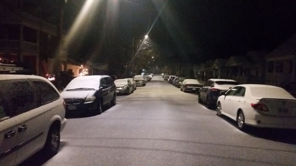
DANVILLE, Va. – The wintry mix of precipitation forecast for the region began as snow in Danville before changing over to rain late Saturday night. A wintry mix of snow and freezing rain was falling just before daybreak, coating cars and roads.
A Winter Storm Warning remains in effect for Danville through Sunday night. The freezing rain, sleet and snow is expected to continue throughout the day. Southside will see a significant ice total as warmer air moves up from the south. A lot will depend on the temperature, which is expected to hover right around freezing Sunday and Sunday night. The winter storm will exit the area on Monday.
The National Weather Service is predicting light snow amounts in Danville with a larger mix of freezing rain. Areas closest to the VA-NC border could see up to .25” or more of freezing rain. This could lead to downed power lines and trees and power outages.
Danville Public Works crews have begun 12-hour, around-the-clock shifts. Utilities crews will be on standby and are ready to respond as needed.
Driving will be become dangerous as the ice continues to fall and Virginia State Police are urging motorists to stay off the roads.